Although not as significant as the Rocky Mountains, the San
Francisco Bay Area
has some recognizable vertical reliefs. There are a few
mountains that with ridge and hill structures that were created by compressive
forces between the Pacific Plate and the North American plate. These ranges
provide for spectacular views in the Bay Area which include Marin County's Mount
Tamalpais at 2,571 feet. Contra Costa County's Mount Diablo at 3,849
feet, Alameda County's Mission Peak at 2,517 to 2,604 feet, and Santa Clara County's Mount Hamilton at 4,213 ft. Mount Hamilton is actually quite well known for its significant astronomical studies performed at its crowning Lick
Observatory. Although Tamalpais and Mission Peak are quite lower than the other ones mentioned,
Tamalpais has no other peaks and few hills nearby and Mission Peak is a coast facing, interior mountain and has a great view from both sides. |
| Mount Diablo |
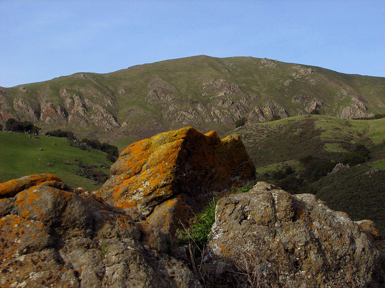 |
| Mission Peak |

There are three major ridges that follow parallel along the fault line.
- Sanata Cruz Mountains
- Berkely Hils which run through Misson Peak
- Diablo Range which includes Mount Diablo and Mount Hamilton
 |
| Looking down from Mount Tamalpais |
Similarly to the importance of the Colorado river, the San Francisco Bay Area has a couple of important waterways essential to the population in the area. The largest rivers are the Sacramento and San Joaquin Rivers
which drain into the Sacramento-San Joaquin River Delta and thereafter to Suisun
Bay. These two drain into the San Pablo Bay. Other major rivers in the North Bay area are the Napa River, the Petaluma
River, the Gualala River, and the Russian River. These two drain into the Pacific Ocean.
Source:
https://en.wikipedia.org/wiki/San_Francisco_Bay_Area
-----------------------------------------------------------------------------------------------------------------
Source:
https://en.wikipedia.org/wiki/San_Francisco_Bay_Area
-----------------------------------------------------------------------------------------------------------------
No comments:
Post a Comment